Drone Photography and Video
We make your brand stand out with high-resolution, eye-catching aerial footage.

What we offer
- 4K aerial footage
- Venue and event flights
- Cinematic camera moves
What does drone photography add to your brand?
Shots taken from the ground cannot fully show how close a hotel is to the sea, how much land a factory covers or how a housing project connects to its surroundings. Drone photography and video fill in that missing viewpoint and show a place with its scale, location and setting. Viewers get a feel for the place before they ever visit it.
Aerial footage is not a film on its own; it gives its strongest result when it is edited together with footage shot on the ground. An aerial opening scene invites the viewer into the place, while the ground shots tell the story of the details and the people. That is why we usually plan aerial shooting as part of a promotional film or a photography project.
Not every project needs aerial footage. A drone shoot usually shows its real value in these cases:
- When the size or location of a place is a deciding factor in the purchase.
- When the surrounding nature, sea, city or historic fabric is part of the brand’s story.
- When you want to show the setup and attendance of an event in a single frame.
- When a long-running construction or investment process needs to be documented over time.
Aerial footage also gives short-form social media videos a strong opening. A few seconds of aerial shooting can stop a viewer who is scrolling and give context to the ground footage that follows.
The limits of aerial footage
A drone is not the right tool for every scene. Narrow streets, interiors, areas under dense tree cover and city zones where flying is restricted may not suit aerial shooting. In such cases, a shot from a high vantage point, from a crane or from the ground with a gimbal can work better than a drone shoot; we discuss this openly during planning.
Which industries benefit most from aerial shooting?
Aerial footage can be used in almost any industry, but for some businesses it becomes a direct sales tool. The examples below summarize the scenarios we discuss most often for drone photography and video.
Hotels, restaurants and tourism businesses
In tourism, guests first buy the view. An aerial view of the pool, the beach, the garden and the natural surroundings forms the first impression of a venue on booking channels, on the website and on social media. A few seconds of a transition shot at sunset says more, and faster, than a long description.
Real estate and construction projects
In residential and commercial projects, one of the first things a buyer wants to know is the location: the distance to the main road, the coast, the school or the city center. Aerial shooting shows this relationship in a single frame. During construction, flights from the same point at set intervals show the progress of the project to investors and buyers in a transparent way.
Factories, warehouses and industrial facilities
Production capacity and infrastructure are an important source of trust for corporate customers. Drone footage showing the overall layout of a facility, its loading areas and its logistics links makes the scale of the company concrete in corporate presentations, on the website and on trade fair screens.
Events, openings and organizations
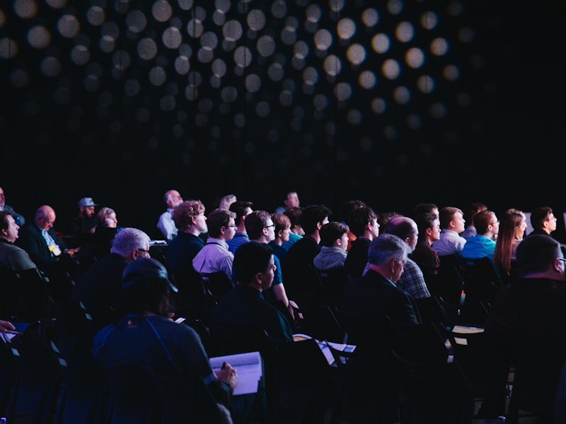
At organizations such as concerts, festivals, launches or openings, aerial shots show the setup of the venue and the size of the turnout. For this kind of work we plan the flight around the event schedule and safety rules and choose routes that do not pass directly over people. Shooting the setup stage, the empty venue and the crowd at the event from the same angle gives a strong comparison that shows the scale of the organization.
Agriculture, vineyards and natural product brands
For brands with production land such as vineyards, olive groves, greenhouses or farms, the land itself is the strongest story. A series of drone shots showing the change of seasons from the same angle makes the source of the product visible and supports the brand’s emphasis on natural origin.
Architecture and landscape projects
For architecture offices and landscape firms, the relationship a finished project has with its surroundings is one of the most important parts of the design. The roof, the garden layout and how the building sits on the site can only be read fully from above. That is why aerial shots also carry value in portfolio presentations and project files.
Educational institutions, campuses and sports facilities
For families and students choosing a school, university or sports club, the size of the campus, its green areas and its social facilities are important decision criteria. An aerial tour shows the relationship between buildings and the scope of the facilities more clearly than brochures can.
If you also want to show the interior of the venue, planning the aerial shots on the same day as venue photography makes it easier to get a consistent series in the same light. This gives you an image archive that tells the same story from both outside and inside.
The legal framework: registration, pilot and flight permission
Civil drone use in Turkey is subject to the rules of the Directorate General of Civil Aviation (SHGM). According to the UAV Registration System page of SHGM, unmanned aerial vehicles of 500 grams and above must be registered in the system, and the pilots who fly them must also register and receive approval from SHGM. Flying outside areas defined as free zones also requires a flight permit.
In areas such as the surroundings of airports, military zones and some public facilities, flying is either completely banned or requires special permission. Because rules and restricted zones can change over time, we check the current status of the location before every drone shoot. If an area requires permission, we include the application process in the shooting schedule from the start.
A flight with an unregistered device or in an area without permission creates risk not only for the pilot but also for the brand that commissioned the shoot. That is why we recommend asking any team you plan to hire how it handles registration and permission. We do not plan a flight until these conditions are clear.
Questions to ask when hiring a team
Asking a few basic questions before you start working with a drone team prevents problems later. If the answers to these questions are not clear, we recommend not fixing the shooting date:
- Is the device to be used registered in the SHGM system?
- Is the pilot who will fly it registered and approved in the system?
- Has the shooting area been checked, and if permission is needed, who is making the application?
- What is the backup plan if the weather is not suitable?
- In which formats and versions will the footage be delivered?
On the SHGM UAV page, liability toward third parties and insurance are also listed among the regulation topics. For shoots planned over a crowded event or a heavily used facility, we recommend settling this topic in advance as well.
Privacy and respect for the surroundings
An aerial view also captures areas that cannot be seen from the ground. When neighboring gardens, private property and recognizable people enter the frame, we respect their privacy and, if needed, change the framing or cut those parts in the edit. Getting approval from the owner or management of the area where the flight will take place also makes the process easier.
We also take into account that drone noise can disturb people and animals in natural areas, farms and places where animals live. We choose the route and altitude accordingly and avoid unnecessary low passes.
The drone shoot process, step by step
Good aerial footage starts not on the day of the flight but with the planning done before it. This is the flow we follow in drone shoots:
- Purpose and use: We decide whether the footage will be used for the website, advertising, social media or a presentation, and whether it needs to be horizontal or vertical.
- Location review: Using maps and satellite images, and a site visit if needed, we identify the takeoff point, obstacles and shooting angles.
- Airspace check: We check whether the area is suitable for flying and whether permission is needed.
- Shot list and routes: We write down in advance which move will be shot at what time, from which altitude and in which direction.
- Timing: We plan the direction of the light, the sunrise and sunset times, the weather forecast and a backup date.
- Flight day: We set the safety area with the person in charge on site, and after a short test flight we shoot the list in order.
- Editing and delivery: We select the footage, match its colors to the ground shots and deliver it according to the channels where it will be used.
What happens on site on the flight day?
When we arrive on site, we first set the takeoff and landing point and let the people nearby know about the flight. Because batteries offer limited flight time, we order the shot list around the battery plan and match the most important shots to the moment when the light is best. After each flight we check the footage on site and, if a shot is missing, we complete it the same day.
Choosing the light and the time
Seen from above, shadows are the most important element that describes shape and depth. Near sunrise and sunset, long, soft shadows define buildings and land; at midday the light hardens and surfaces look flat. Knowing which direction the facade of the venue faces is the first step in choosing the right time.
The blue hour right after sunset is a short window when building and street lights are on but the sky still has color. For hotel, restaurant and city projects, this time slot can give very impressive results for aerial shooting. Planning in low light needs more care; for flights after sunset we also check the current rules separately.
Weather conditions and a backup day
Wind, rain, fog and low clouds directly affect flight safety and image quality. That is why we always set a backup date when planning a drone shoot. When the weather is not suitable, postponing the flight instead of forcing it is the right choice for both safety and results.
Camera moves and editing in aerial shooting
What makes aerial footage impressive is often not the altitude but the movement itself. Each move carries a different feeling and different information; that is why we choose the moves in the shot list according to what we want to say.
- Reveal: Slowly uncovers the place from behind an obstacle or by rising from below; ideal for film openings.
- Orbit: Circles around a structure to show it from every side.
- Follow: Tracks a moving vehicle, boat or person from a set distance.
- Top-down: Points the camera straight down to bring out patterns, layout and geometry.
- Slow push-in: A calm approach toward the place creates an inviting feel.
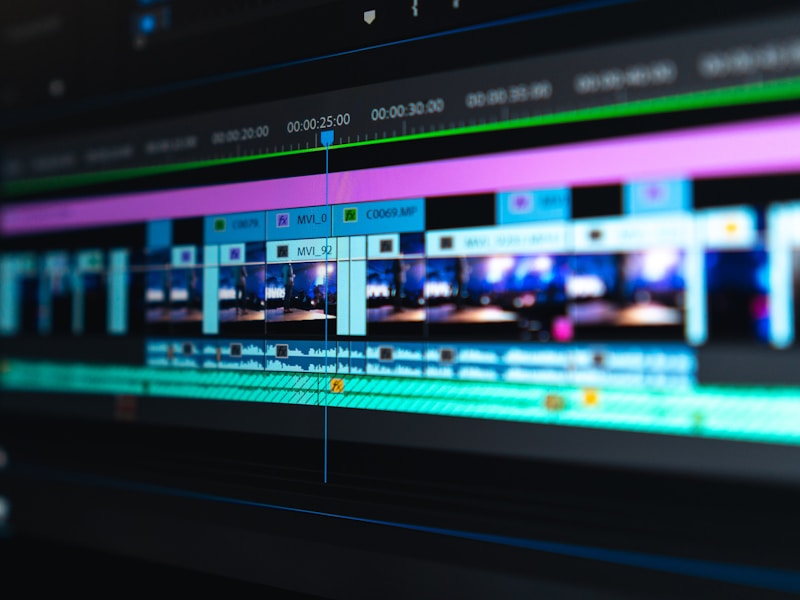
Shooting at high resolution leaves room to reframe in the edit and to cut vertical social media versions from the same footage. Scenes shot at a high frame rate can be used as slow motion. In color grading, we keep aerial footage in the same tone as the ground shots so that the film looks like one piece.
The place of aerial footage in the edit
In a promotional video, aerial shots are usually used in three places: to introduce the place at the opening, to move between sections and to leave a memorable final frame at the close. Alternating aerial shots with ground details and human stories keeps the rhythm of the film lively. We set the music and editing tempo according to this balance.
Delivery formats and footage archive
Alongside the edited film, we prepare horizontal (16:9), vertical (9:16) and square versions as needed. Delivering selected raw footage separately lets you reuse the same drone footage archive in future ad and social media edits. Discussing which files and versions you want before the shoot simplifies the delivery stage.
The details that decide image quality
The quality of aerial footage is not measured by resolution alone. The camera sensor, the gimbal that keeps the image steady in wind, the ND filters used for natural motion blur and the right exposure settings decide the difference between a cinematic image and an ordinary recording. In drone shoots we recheck these settings for the scene and the light on every flight.
Photo or video?
Drone shoots are not only for video. High-resolution aerial photos can be used for a long time on website covers, in brochures, in property listings and on printed catalog covers. If you want both video and photos on the same flight, adding that to the shot list from the start saves time on site.
Preparing for the shoot and common mistakes
To make the flight day run smoothly, we ask you for some information in advance. This information speeds up both the permission check and the shooting plan:
- The full address and map location of the shooting site.
- Shooting approval from the property owner or from the management of the complex, facility or building.
- For event shoots, the program schedule and a contact person on site.
- Areas you do not want filmed or sections that must stay private.
- The channels where the footage will be used and reference videos you like.
- Points to tidy up at the venue on the shoot day: parked vehicles, trash containers, construction materials.
Having someone on site who can make decisions during the drone shoot solves small needs such as opening a gate or moving vehicles right away. For shoots in the evening, having the building and landscape lights on also adds life to the footage.
What determines the scope
Drone shoot quotes vary from project to project. The main factors that determine the scope are these:
- The number of locations and the distance between them.
- Whether the area requires permission.
- Whether the shoot is a one-time job or a repeated documentation at set intervals.
- Whether it will be combined with ground shots, photography or event shooting.
- The need for editing, music, text and color grading.
- The versions to be delivered: horizontal film, vertical cuts, photo frames.
To pin down an aerial shooting quote, the location details and the purpose of use are often enough. After the permission status of the area is checked, we finalize the exact shooting plan and the quote together.
Common mistakes in drone shoots
- Trying to tell the story only from the air: A film with no details or people repeats itself after the first few seconds.
- The wrong time: Footage shot at midday can look flat and dull.
- Leaving permission to the last day: In an area that requires permission, this means the shoot is postponed.
- Not preparing the venue: Clutter that goes unnoticed from the ground becomes obvious from above.
- Thinking of a single format: Footage shot without planning for vertical use may not give the framing you want on social media.
- Shots that run too long: Even an impressive aerial shot loses its effect as it drags on; short, rhythmic use in the edit works better.
Frequently asked questions
Is permission needed for a drone shoot?
Drone flights in Turkey are subject to SHGM rules; according to SHGM, registration is required for UAVs of 500 grams and above and for the pilots who fly them. Outside free zones, a flight permit is also required.
Can drone shoots be done anywhere?
No. In areas such as the surroundings of airports, military zones and some public facilities, flying is banned or requires special permission; that is why we always check the location before the shoot.
What happens if the weather is not suitable?
If wind, rain or fog makes the flight risky, we move the shoot to the backup date set in advance. We do not fly when it would put safety or image quality at risk.
Can aerial footage be used in vertical social media formats?
Yes. When vertical use is planned from the start, we frame the shots accordingly or cut vertical versions from the high-resolution footage.
Can you document a construction process regularly with aerial shooting?
Yes. Flights from the same points and the same angles at set intervals show the progress of the project as a comparable series.
What determines the price of a drone shoot?
The price depends on the number of locations, the permission requirements, the shooting time, the editing needs and whether it is combined with ground shots. When you share the project details, we prepare a quote specific to you.
Let’s plan your venue from above together
Drone photography and video are part of our photography and video production services and can be handled within the same plan as other shoots. Share with us the place to be filmed, where you will use the footage and the references you have in mind; we will check the flight conditions at the location and prepare a suitable plan and quote. You can write to us through our contact page for this.
Other services in this section
-
 Product Photography
We shoot aesthetic, professional photos that show your products at their best.
-
Social Media Videos
We increase your visibility on social media with short, engaging content that follows the trends.
-
Event Photography and Video
We record the unforgettable moments of your trade shows, conferences, launches and other events.